")
")


Welcome
Welcome to the Department of Geoinformatics, Physical and Environmental Geography of the University of Szeged!
Geography education at our university started in 1921. Our department was established in 1964 as Department of Physical Geography with László Jakucs, the well-known karst researcher as head. In 2002 the name changed to Department of Physical Geography and Geoinformatics as Remote Sensing and GIS became more and more important besides the traditional ways of researches, applied geomorphology and environmental investigations. In 2020, our name was changed again to Department of Geoinformatics, Physical and Environmental Geography to reflect the changing profile of the research and education conducted at the department.
Nowadays altogether 500-600 BSc students in Geography and 110 MSc students in Geography study at our university, many of them take active part in the education and research activity of the Department. Moreover, the Department also plays a significant role in the education of students in environmental science.
In the frame of the Erasmus program our Department has close co-operation with 12 universities of numerous countries in Europe, and also with the West Virginia University in the USA.
Research and projects
| Research and projects |
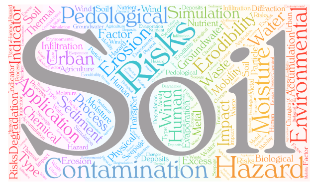
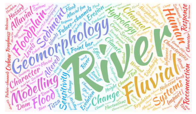
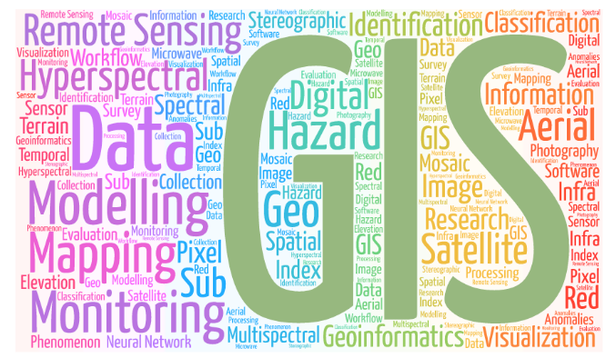
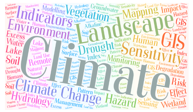
The research at the department is divided into five fields of expertise: Applied soil sciences, Fluvial geomorphology, Geoinformatics and remote sensing, Climate and landscape change, Age determination. Each field of expertise has its own laboratories and specialized equipment.
 |
 |
 |
 |
 |
Examples of past and current projects are:
OTKA 134306 Micro- and macroplastic debris transport and deposition in the fluvial system of the Tisza River: a geographical perspective (2020-2024)
OTKA 135793 Consortional assoc.: Mass Accumulation Rates and their change in the Carpathian Basin, based on high resolution investigation of loess deposits representing the last two glacial cycles - producing input data for paleoclimate models (2020-2024)
OTKA 131379 The role of small habitat patches and secondary habitats in conserving diversity (2018-2021)
OTKA 124648 Time series analysis of land-cover dynamics using medium and high-resolution satellite images (2017-2021)
OTKA 116981 Wind erosion sensitivity examination of different soil types using in situ wind tunnel experiments, on site and off site effects (2015-2020)
OTKA 100761 Relationship between morphometric parameters, discharge and rate of channel migration: case study on the rivers of the Great Hungarian Plain (2012-2015)
OTKA 83561 Consortional assoc.: Holocen aeolian landscape development, active wind erosion and the protection against it, case studies on Hungarian blown sand areas (2011-2015)
OTKA 78349 Assessment of geographical effects of climate change with remote sensing methods (2009-2012)
OTKA 73093 Modelling of soil nutrient loss by wind and water erosion in chernozem areas (2008-2013)
OTKA 48903 Application of hyperspectal RS methods for analyzing spatial processes (2005-2009)
OTKA 46558 Quantitative analysis of land mosaics (2004-2008)
Sentinels for Floodplain Hydrology – Sentinel SAR interferometry for improved lowland hydrological hazard monitoring (2017-2019)
Application of radar remote sensing to monitor ice coverage of the Danube river in 2017
Operative inland excess water mapping based on active and passive remote sensing data (2016-2017) (Publication)
| Danube Floodplain - Interreg Danube Transnational Programme (2018-2020) |
Reducing the flood risk through floodplain restoration along the Danube River and tributaries. The project's main objective is to improve transnational water management and flood risk prevention while maximizing benefits for aquatic ecosystem
| WATERatRISK - Interreg - IPA CBC Hungary-Serbia (2017-2019) |
Improvement of drought and excess water monitoring for supporting water management and mitigation of risks related to extreme weather conditions
| MERIEXWA - Interreg - IPA CBC Hungary-Serbia (2012-2014) |
Inland excess water is a serious hazard and represents a contemporary problem in Hungary, particularly in Csongrád County and in Serbia, especially in its northern part, the Autonomous Province of Vojvodina. The project aims to solve four interrelated questions. First, we are going to monitor the conditions of groundwater seepage with the help of a monitoring well system. We will analyse the formation of the different types of inland excess water in the cross-border research areas. Some of the key points of this research are to determine the influence of the geomorphological environment and agricultural activity on the upwelling type, and the influence of soil permeability and orography on the run off type of inland excess water. ‘Know how’ of creating high precision inundation maps based on remote sensing data of different sources will be developed. At the same time, also the conduction capacity of drainage systems, and the possible problems and their consequences for experts and farmers will be evaluated.
| WAHASTRAT - Interreg - IPA CBC Hungary-Serbia (2013-2014) |
Hungary, as a member of the EU is engaged to fulfil the requirements of the EU Water Framework Directive. Serbia, being a state heading towards the EU has also a great interest to meet the requirements of the document. To achieve the goals of the directive, catchment management plans need to be implemented, which provide a framework for major water related issues. However, the management of future extremities and hydro-climatic hazards, along with their more and more severe consequences, require an even more integrated approach. Conflicts related to water shortage must be treated in a complex way by resolving the opposing interests of different stakeholders (environmental protection, irrigation, industrial use). The project therefore aims to find integrated water management solutions for the increasing problem of water shortage. Catchments and water related problems are not related to administrative boundaries, thus any measures in this field require a strong cross-border co-operation.
The project is generated and planned to be implemented by the most important research centres of the region (SZTE, UNSPMF, UNFTN) in co-operation of the professionals of the Hungarian Water Management Directorate (ATI-VIZIG). The joint efforts of the partners herald the implementation of successful research activities and the initiation of valuable strategies to increase the adaptivity, sustainability and competitiveness of the CB region. The ultimate objectives of the project are to conduct a complex research to determine the most important water shortage related conflicts, to measure and monitor drought events, to model the short-term and long term changes of water resources at most affected areas, to develop plans and strategies to mitigate problems and finally to activate society and stakeholders for a common action in order to preserve one of the most important resources of our future: water.
| EnviArch - Interreg - IPA CBC Hungary-Romania (2012-2014) |
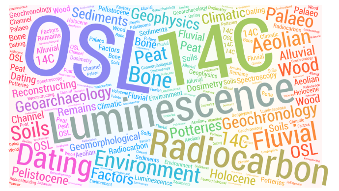
The envisioned EnviArch project is a complex and multidisciplinary attempt to increase and generate cross-border co-operation in the field of R&D, cultural heritage, environmental sustainability and education, affecting also economically the construction industry and tourism. The main objectives of the project were to set up and improve 3 laboratories supporting long term sustainable archaeological and environmental research in the long run. The planned laboratories were: Radiocarbon/C14 dating laboratory, Luminescence TL/OSL dating laboratory and Geophysical laboratory.
The infrastructural investment, however, was made along with the implementation of parallel research initiatives to serve the target area, the entire cross-border region and even the national and international levels. Beside the main objective of developing high, world standard and widely used laboratories, the experts were also conduct two main research activities in the field of archaeology and environmental sciences.
| FUTUMAR - Interreg - IPA CBC Hungary-Romania (2011-2012) |
River Maros/Mureş is our common heritage and resource, a strong link between Hungary and Romania. We live on the land built up by the river, we face its floods and environmental problems related to its mismanagement. Recent human interventions have resulted some unfavourable processes, which need to be quantified in order to achieve a sustainable river management in the lower Maros/Mures valley. Besides, those people who live along the river should have an opportunity to discuss and formulate their ideas and perceptions on the future of this marvellous river.The scientific aim of the project is to assess environmental processes in the lower Maros/Mures valley in relation with natural river development and human river management, and to determine risks of accelrated change. To sketch the scenarios of the future, the past and present evolution of the river has to be understood as well. For this the most up-to-date geoinformatical, geophysical and hydrogeographical techniques will be applied. The project will also provide a base and a best practice for the authorities to monitor the river later.
TÁMOP 4.2.2.D-15/1/KONV-2015-0010 Preparation of targeted complex fundamental research in the fields of remote sensing and green energy, networking and preparation to participate in transnational programmes and initiative
TÁMOP-4.1.1.C-12/1/KONV-2012-0012 Green Energy cooperation in Higher Education (ZENFE)